English
 Ελληνικά
 Русский
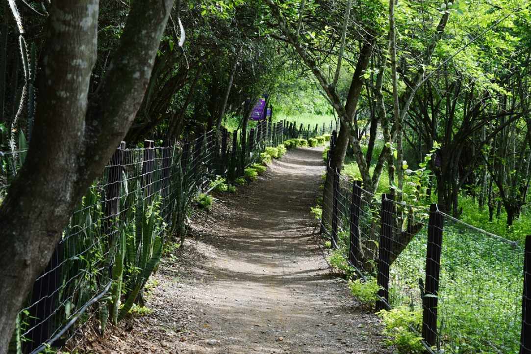
Bicycle routes - Larnaka and Red Soil Villages
Do you love cycling?
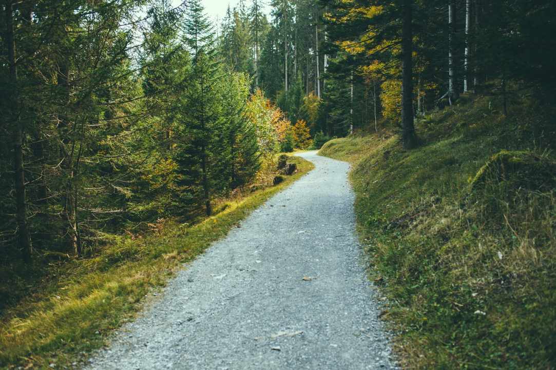
Cycling is a sport that can be done also on an amateur level and requires only a few things: a bike in excellent working condition, water, a spare tire, a cyclist (trying to reach, at least) in good physical shape and a road or a path to grow. And like all the sports, it's something that you learn, you never give up. Something like a cyclist I confirm. And after seeing the general cycling conditions in Cyprus, the time has come to look at various cycling routes as proposed by various competent bodies or by the writer.
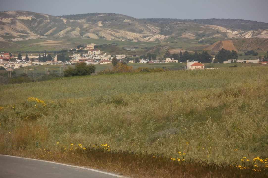
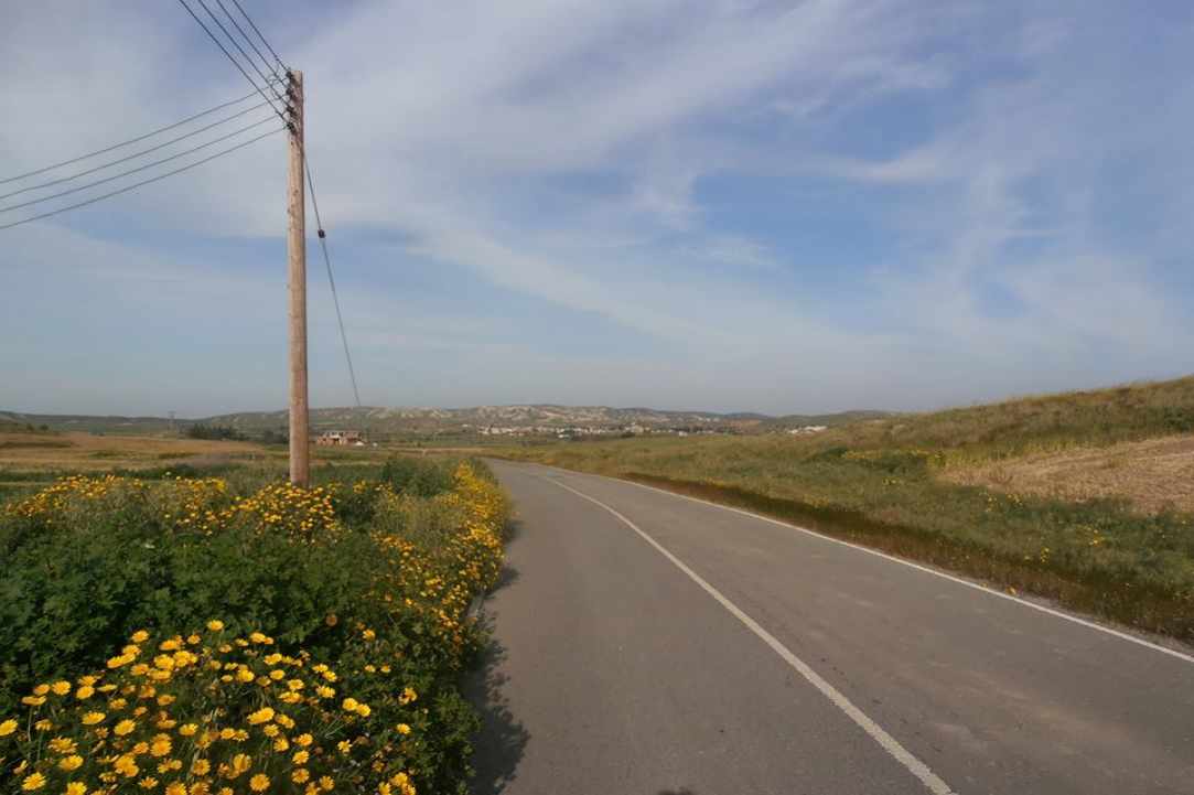
Rizoelia Forest - Kellia - Voroklini - Pyla
According to data provided by the CTO, this 28 km long route and an estimated coverage time of 9-12 hours is part of the European Long Distance Trail E4. Starting from the Rizoelia National Forest Park with organised excursion, stadiums, sightseeing spots, etc., it is heading north and through the northern entrance of the Park the route follows a path to Koshe, to Panagia Haematoussa or Panagia ton Ambelion through the old Larnaka - Nicosia main street for 1 km. Then it crosses the Nicosia-Larnaka motorway (Α2) following a parallel course with the Larnaka - Ayia Napa highway (A3), crosses the Larnaka - Athienou road and ends up in the village of Kellia, in an alternating asphalt road and dirt road, at a distance of four kilometres. The route continues through the village and advancing through rural roads, it rises up to the Voroklini Forest, where you will find an excursion site, amazing views and the chapel of Prophet Elias. From there it goes down to Oroklini and continues eastwards to Pyla through a 3km dirt road and from there follow one of the two alternative routes: either to head south and via Dekelia (B3) road to visit the non occupied Ammochostos district and return through Red Soil Villages, or the corresponding route vice versa!
Pyla - Ormidia - Xylophagou - Ayia Napa
According to data provided by CTO, this 35 km long route and an estimated coverage time of 11-14 hours is part of the European Long Distance Trail E4 in Cyprus. It starts from Pila, where the walker crosses the Larnaka - Pyla road to head towards Dhekelia and Ormidia via the old Larnaka - Dhekelia - Ormidia road, then arrives at the Panagia chapel, then in the Xylofagou community and then through rural areas the Liopetri River, Agia Thekla, Ayia Napa and Kermia.
Agia Napa - Cape Greco - Sotira
According to data provided by CTO, this 20 km long route and an estimated coverage time of 7 to 9 hours is part of the European Long Distance Trail E4 in Cyprus. It starts from the west end of the National Forest Park of Cape Greco, at Kermia and through Cape Greco, the chapel of Ayioi Saranda, the Sotiras Forest and the areas southwest of the Sotira, ends at the site of Streftaras. Here the hiker can find facilities such as excursions, kiosks, restaurants and hotels, and has the ability to pass through several points worth mentioning, such as the Thalassines Spilies, the ruins of the ancient temple of Aphrodite, the lighthouse, the "Camara of Korakas" bridge and the church and the cave of Ayioi Anargyroi.
Sotira - Liopetri - Xylophagou - Xylotymbou - Pyla
According to data provided by the CTO, this 35 km long route and an estimated coverage time of 10-14 hours is part of the European Long Trail E4 in Cyprus. It starts from the village of Sotira and passes through the Water Guard and the Community Forest of Liopetri and the communities of Xylophagos and Xylotympos, ends at the Community Forest of Pyla.
Pyla - Voroklini - Troulloi - Avdellero
According to data provided by the CTO, this 16 km long route and an estimated coverage time of 8-11 hours is part of the European Long Distance Trail E4 in Cyprus. Starting from the Community Forest of Pyla and passing through Pyla, the Aspromoutti Forest, the Troulloi village and end up at Avdellero village.
 Posted by
Anastasios Anastasiou
Posted by
Anastasios Anastasiou