English
 Ελληνικά
 Русский
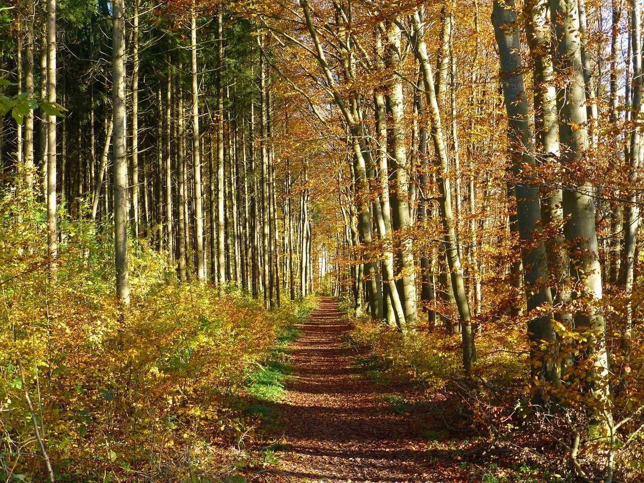
Bicycle routes of Cyprus - Pafos beaches, Limassol mountains & Nicosia mountains
Near the beach or in the mountains?
Cycling is a sport that can be done also on an amateur level and requires only a few things: a bike in excellent working condition, water, a spare tire, a cyclist (trying to reach, at least) in good physical shape and a road or a path to grow. And like all the sports, it's something that you learn, you never give up. Something like a cyclist I confirm. And after seeing the general cycling conditions in Cyprus, the time has come to look at various cycling routes as proposed by various competent bodies or by the writer.
Nature's Study Trail Aphrodite
According to data provided by the Cyprus Tourism Organization (CTO), this route with starting and ending coordinates 440322/3879456, starting and ending altitude of 35 metres and a higher altitude of 333 metres, has as its starting point the Aphrodite Baths, 7.5 km long, estimated coverage time 3 - 4 hours and degree of difficulty 3. Reference value is the 2 taps with non-drinking water, the hyper-ancient oak, about 500 years old, the ruins of the Regina Tower, believed to belong to a medieval monastery and the Botanical Garden. Part of the path belongs to the European Long Distance Trail E4. Particular attention is given to black snake and fin, as the fin is poisonous.
Nature's Study Trail Smiyes
According to data provided by the CTO, this route with starting and ending coordinates 439163/3875910, starting and ending altitude of 273 metres and a higher altitude of 388 metres, is based on the Smilyes excursion area, 2.5 kilometres from Neo Chorio, within the Akamas. There are two routes, a short, 2.5 km long and a distant, 6 km long, estimated cover time of 1 hour or 2 respectively and a degree of difficulty 2. Reference point is the point facing the west coast of Akamas, the Lara Bay, the bay of Chrysochous to Latsi, Polis and Pachyammos and the Pafos forest, the old mines, the magnesia plants and the old abandoned caverns, the drinking water faucet at Kefalovrisia and the Peana Firestation. Part of the path belongs to the European Long Distance Trail E4. Particular attention is given to black snake and fin, as the fin is poisonous.
Kato Amiandos - Loumata ton Aeton
According to data provided by CTO, this route with coordinates starting at 493784/3863663 and termination 493740/3864188, an altitude starting 1106 metres, terminating 1012 metres and a higher altitude of 1106 metres, starts from the point of Kato Amiandos - SEK Camping Site, at a distance of 1.2 kilometres from Kato Amiandos, is 2.5 kilometres long, an estimated cover time of 1 hour and a degree of difficulty 2. Reference is the slope crossing along the river, the Amiantos Park, the old restored hideout of the EOKA fighters and the river "Lumata ton Aeton", while it can be circular, following roads in the community towards the camp of SEK. It is located within the Troodos National Forest Park and special attention is given to black-and-white and fine, as fine is poisonous.
Nature's Study Trail Xyliados Dam
According to data provided by the CTO, this route with stop and stop coordinates 503323/3874077, starting and ending altitude 543 metres and a higher altitude of 601 metres, has as its starting point the shuttle junction or the excursion area of the dam, it has a total length 3.8 km, estimated coverage time 1 - 1.5 hours and degree of difficulty 2. The reference is the flora and fauna of the area, which in combination with the beauty of the dam itself impresses.
Kionia - Prophet Elias
According to data provided by CTO, this route with coordinates starting at 518049/3864213 and termination 522495/3865694, starting at an altitude of 1251 metres, terminating 677 metres and a higher altitude of 1251 metres, is based on the Kionia excursion area, with access from the road to the Monastery of Machairas that leads to Kionia or Vavatsinia and ends at the Prophet Elias Monastery, about 8 kilometers from Lythrodontas or 6 kilometers from Mandra tou Kambiou, with access from dirt roads, is 7 kilometres long, an estimated cover time of 2.5 hours grade whatever difficulty 3 due to steep and downhill route, especially towards the end. Reference point is the drinking water tap at the starting point, the excellent view of the Mesaoria plain and the perennial trees all along the path, while within the Machera National Forest Park and part of the E4 European Long Trail. Particular attention is given to giving black snake and fin, as the fins are poisonous.
 Posted by
Anastasios Anastasiou
Posted by
Anastasios Anastasiou