 Русский
 English
 Ελληνικά
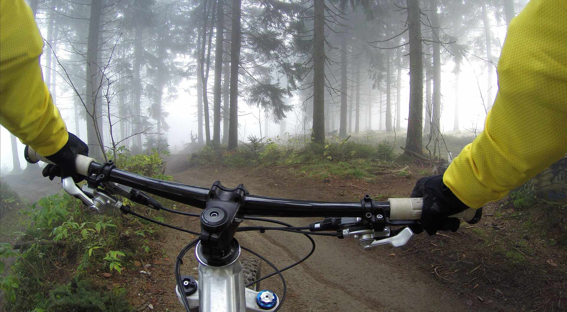
Велосипедные маршруты в Троодосе
Катание в горах
Велоспорт – это спорт, которым можно заниматься на любительском уровне. Он требует всего нескольких вещей: велосипед в хорошем рабочем состоянии, вода, запасная шина, велосипедист в хорошей физической форме (по крайней мере, стремящийся к этому) и дорога или тропинка. И, как и все виды спорта, это то, чему нужно учиться никогда не сдаваясь. Я как велосипедист подтверждаю это. И, ознакомившись с общей информацией о велосипедном спорте на Кипре, пришло время посмотреть на различные велосипедные маршруты, предлагаемые различными компетентными организациями и мной.
Тессия тис Мадарис (Tessia tis Madaris)
Согласно данным, предоставленным Кипрской туристической организацией (КТО), координаты начальной и конечной точки этого маршрута - 499924/3867654, максимальная высота маршрута над уровнем моря - 1582 м. Отправную точка находится вблизи плотины Мадари (Madari Dam), а конечная точка - пожарная станция Мадари (Doxa se o Theos). Общая протяженность маршрута - 3 км, расчетное время прохождения маршрута - 1,5 часа, степень сложности - 3. Маршрут охватывает: о высокие скалы, интересную геологию района, прекрасный вид на равнину Мессаория и залива Морфу. Маршрут связан с природными маршрутами Докса се о Теос – пожарная станция Мадари (Doxa se o Theos - Madari Fire Station) и Мадари - Селлади Караманлиса (Madari - Selladi of Karamanlis). Необходимо остерегаться змей.
Артемис (Artemis)
Согласно данным, предоставленным КТО, координаты начальной точки маршрута - 488309/3865639, а координаты конечной точки - 488307/3865645. Максимальная высота маршрута над уровнем моря – 1850 м, высота в начальной и конечной точке - 1835 метров. Маршрут начинается в 300 метрах от точки пересечения дороги к Хионистре (Chionistra) с дорогой Троодос – Продромос. Общая протяженность - 7 км, расчетное время покрытия - 2,5 - 3 часа. Степень сложности – не обозначена. Стоит упомянуть лес черных сосен с двумя многовековыми деревьями по 500 лет каждое, редкие скалы и флору региона, руины укреплений – Стены старой Хоры (Tessha tis Palias Choras), прекрасный вид во всех направлениях и Информационный центр «Троодос», расположенный в 2,2 км от пути, расположенный в национальном лесном парке Троодос. Необходимо остерегаться змей.
Аталанти (Atalanti)
Согласно данным, предоставленным КТО, координаты начальной точки маршрута - 489120/3864648, а координаты конечной точки - 489127/3864652. Максимальная высота маршрута над уровнем моря – 1830 м, высота в начальной точке – 1725, в конечной точке - 1748 метров. Начальную точка маршрута - площадь Троодоса, общая протяженность - 14 километров, предполагаемый срок преодоления маршрута - от 4 до 5 часов, степень сложности - 2. Интересное на маршруте: 800-летнее вечное дерево, прекрасный вид на все районы острова, вход в галерею горных шахт и кран с питьевой водой через 3 км. Через 9 км путь пересекает дорогу Тродос – Продромос (Troodos - Prodromos road), направляясь к церкви Церковь Святого Николая под крышей (Айос Николаос тис Стегис), где деревянный указатель показывает путь, почти параллельный дороге, заканчивающийся на площади Троодоса. Тропа находится в пределах Национального лесного парка Троодос. Необходимо остерегаться змей.
Каннурис – Айос Николаос тис Стегис / Какопетрия (Cannoures - Ayios Nikolaos Steyis / Kakopetria)
Согласно данным, предоставленным КТО, координаты начальной точки маршрута - 489684/3865479, а координаты конечной точки - 489542/3870586. Высота над уровнем моря начальной точки - 1654 м, конечной точки - 872 м, максимальная высота маршрута - 1654 м. Маршрут начинается на главной дороге Карвунас – Троодос (main road Karvounas – Troodos), в 1 км от Троодоса, в 9,5 км от Карвунаса и заканчивается у церкви деревни Агиос Николаос Стегис (Церковь Святого Николая под крышей) или в Какопетрии. Общая протяженность маршрута - 9 км (до церкви) или 12 (до Какопетрии). Расчетное время прохождения маршрута - 3 часа (до церкви )или 4 часа (до Какопетрии). Уровень сложности - 3 (из-за сложного спуска). Ориентиры маршрута: параллельный с рекой Каркотис (river Karkotis), откуда начинается источник, объекты рудника и церковь Агиос Николаос тис Стегис, которая включена в Список всемирного наследия ЮНЕСКО, от которой можно проследовать по дороге Педула – Какопетрия (Pedoula – Kakopetria) около 3 км, чтобы добраться до Какопетрии. Тропа находится в пределах Национального лесного парка Троодос. Необходимо остерегаться змей.
Каледония (Caledonia)
Согласно данным, предоставленным КТО, координаты начальной точки маршрута - 488177/3863588, а координаты конечной точки - 487989/3861494. Высота над уровнем моря начальной точки (максимальная высота маршрута) - 1571 м. Маршрут начинается в 350м от главной улицы Троодос-Платрес (Troodos – Platres), на расстоянии 3 км от Платии (Platia) или в Псило Дентро (Psilo Dentro) Платресе (Platres). Общая протяженность - 3 км, предполагаемое время прохождения - 1,5 часа, степень сложности - 3. Ориентиром является река Криос Потамос (Kryos Potamos), вдоль которой путь поднимается к водопаду, самом водопад и Информационный центр Троодоса. Путь расположен в национальном лесном парке Троодос, а там, где он проходит по главной улице Троодос - площадь Платрес до водопада является частью Европейского маршрута большой протяженности E4. Необходимо остерегаться змей.
 Posted by
Анастасиос Анастасиу
Posted by
Анастасиос Анастасиу