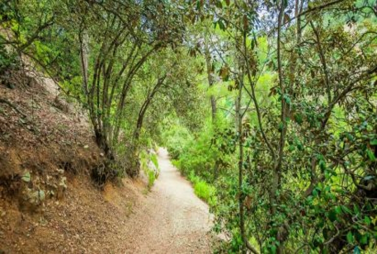
Trooditissa-Foini (Linear) Hiking
A good chance to breathe fresh air
Points of interest: The route follows a forest road that connects Trooditissa Monastery with the beautiful village of Phini, with exceptional views towards the village along the way. The trail crosses the Trooditissa River and leads you to the route’s main attraction, the Chantara waterfall (eight metres high), then passes by vertical cliffs before the journey ends on the Phini – Agios Demetrios road, right outside Phini. The entire trail is located within Troodos National Forest Park, which is a Natura 2000 area.
Flora: While hiking you can study (amongst other plants) the indigenous plants: Calabrian pine (Pinus brutia), strawberry tree (Arbutus adrachnae), and the endemic golden oak (Quercus alnifolia).
GPS coordinates of the starting point: 485126 / 3863316
GPS coordinates of the ending point: 485140 / 3861615
Altitude of the highest peak: 1330m
Altitude of the lowest peak: 930m
Estimated duration: 2 hours
Starting point: The Platres – Prodromos main road.
Length: 4,5km
Difficulty rate: 1

 English
 Ελληνικά
 Русский